
Choquette Hot Springs Provincial Park
Choquette Hot Springs Provincial Park
Hot Spring
A large series of springs and beaver ponds on the Stikine River, close to the Canada-U.S. border.
These springs are the northernmost among a trio located on the lower Stikine River, not far from the border between Canada and the United States. These springs are the sole one of the three that falls within Canadian territory. Unfortunately, the springs have experienced reduced usage due to flooding caused by beavers. Consequently, most boaters opt for Chief Shakes further downstream, bypassing these springs.
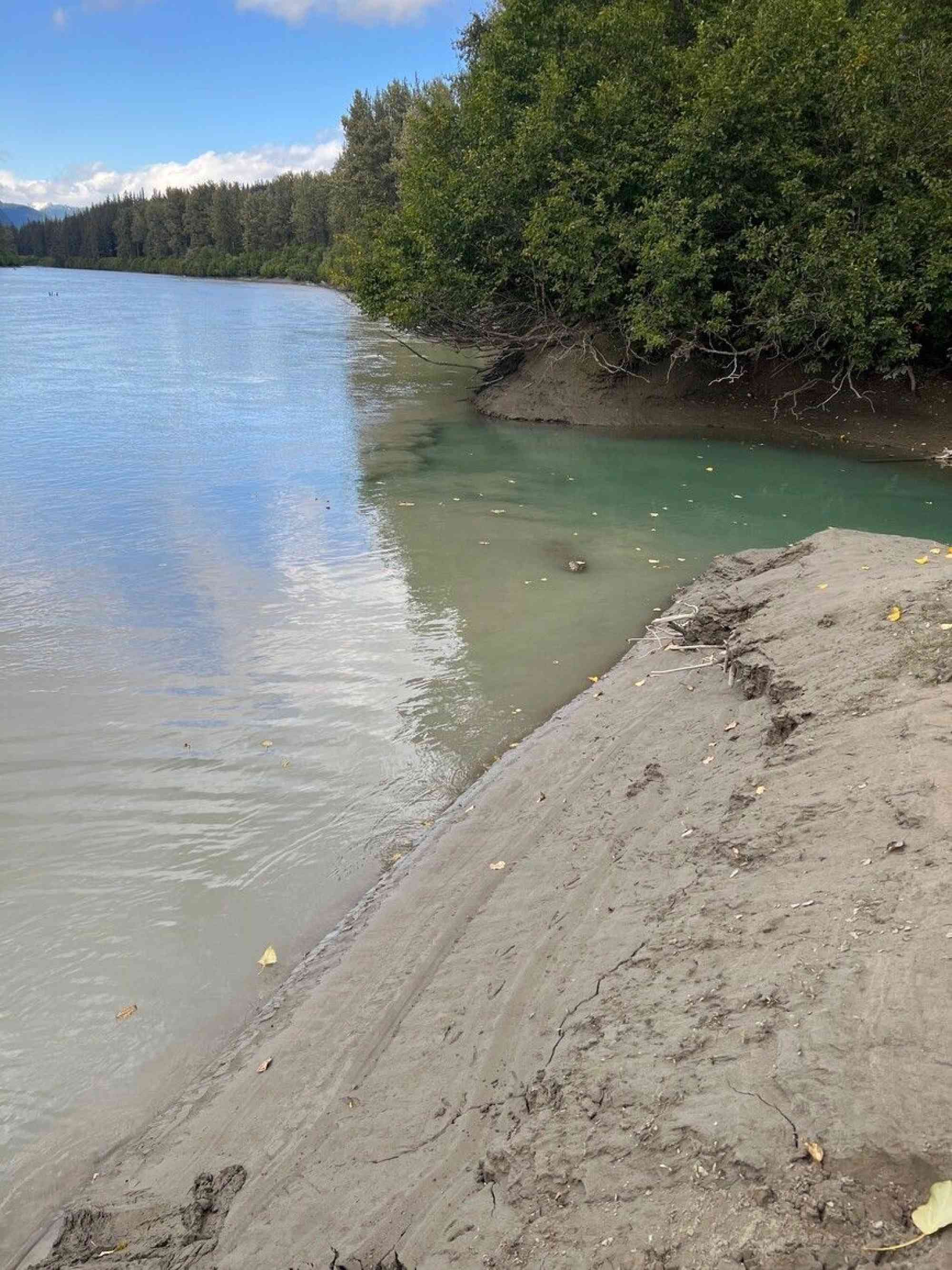
To reach these springs, one must use a boat along the Stikine River, which can be navigated from its mouth to Telegraph Creek. Back in the days of the gold rush and even well into the 20th century, sternwheelers routinely made journeys from Wrangell, Alaska, upstream to Telegraph Creek. Near the border, a customhouse stood, active during periods of high traffic. Although the last sternwheeler journey on the Stikine occurred in 1916, propeller-driven vessels continued plying the river for many more years. Notably, during World War II, the river played a crucial role in transporting materials for constructing the Alaska Highway.
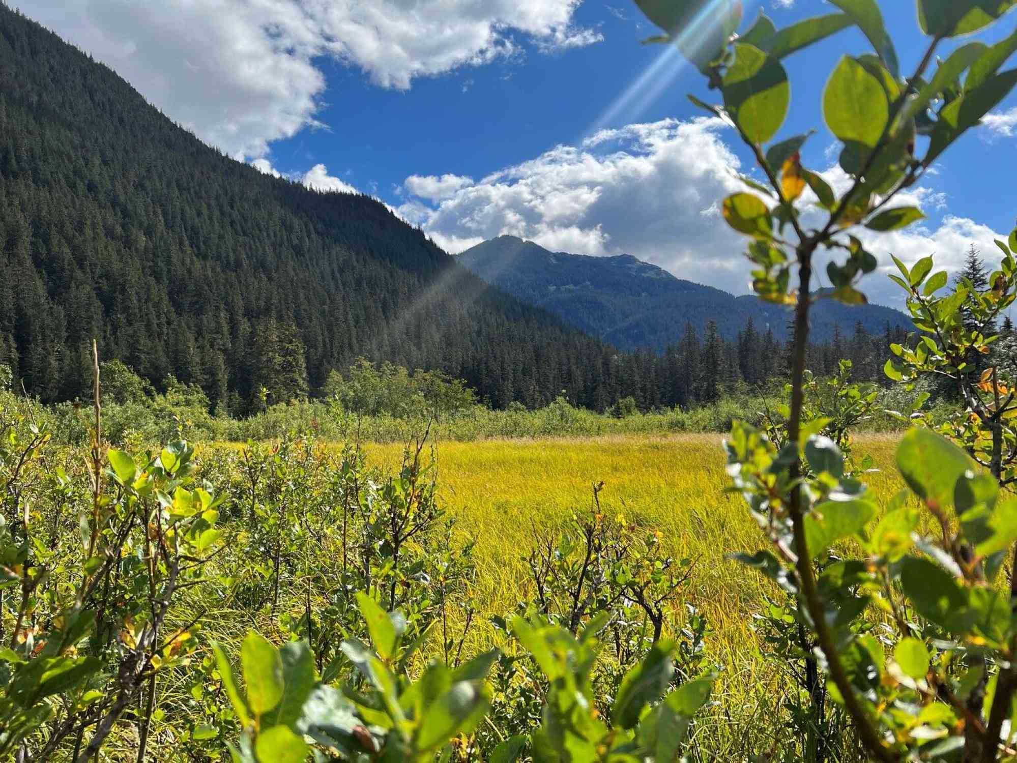
Presently, the river witnesses significantly less traffic. Occasionally, experienced kayakers, rafters, and canoeists undertake the 200km journey from Telegraph Creek to Wrangell, allocating around six to eight days. This awe-inspiring expedition traverses diverse landscapes, from the arid terrain of Telegraph Creek to the glacier-laden valleys of the Coast Mountains, concluding amidst the intricate network of islands and inlets in southeastern Alaska. Some small motorboats also embark on the trip from Wrangell, but it's important to note that the river's swift and perilous nature necessitates expertise in boating.
Positioned on the eastern bank of the Stikine River, opposite the Great Glacier, lie the Choquette hot springs. These springs are around 23km from the border and roughly 1km north of the Choquette River. Accessing the springs from the Stikine involves maneuvering a kayak or shallow-draft boat through a narrow channel. This passage lies almost directly across from an old cabin, which was once part of Fowler's homestead, giving rise to the name "Fowler Hot Springs." The springs are also officially known as Stikine River Hot Springs.
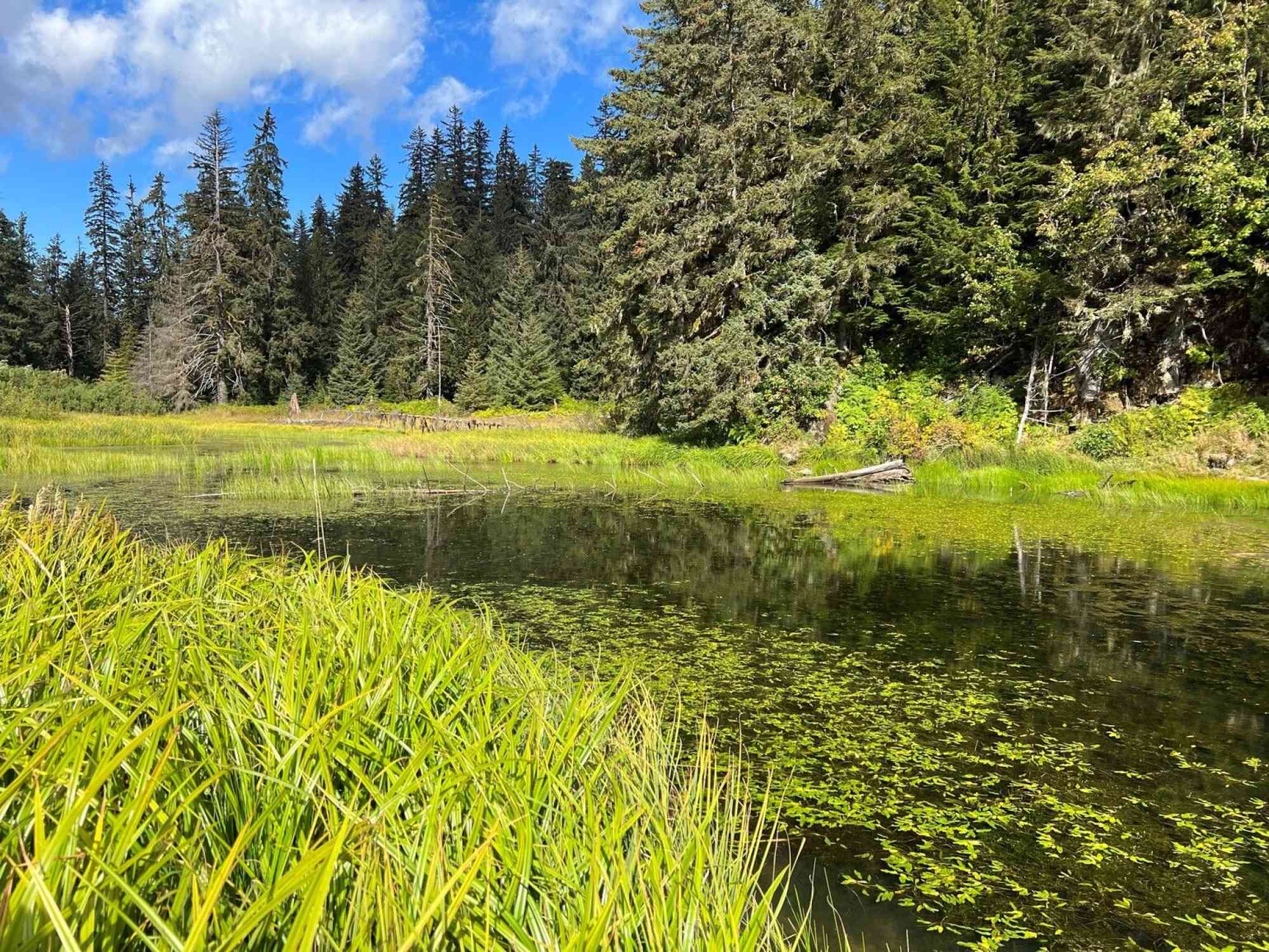
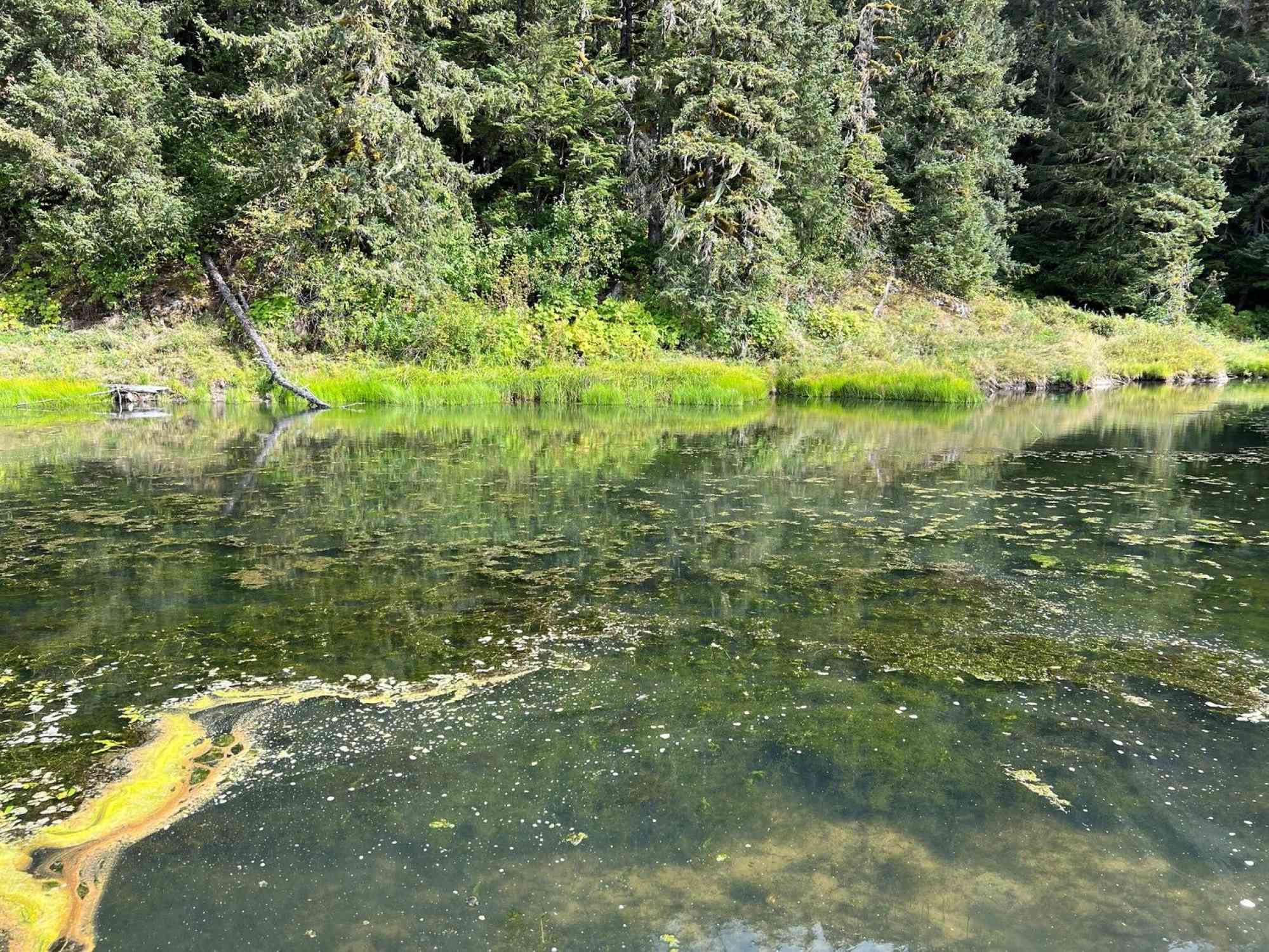
More than 15 springs emerge from crevices in the bedrock walls along the flat valley bottom. Nowadays, many of these springs have formed expansive beaver ponds that eventually drain into the channel. Several springs still remain above pond level, spread out over a 60m span along the cliffs. These springs exhibit temperatures ranging from 50°C to 60°C, with historical records mentioning even higher temperatures of up to 66°C. The spring water lacks any distinct odor or taste and possesses low mineral content, primarily comprising chloride, sulphate, sodium, and silica.
Within the beaver ponds, the water temperature hovers around 25°C, and some visitors take advantage of this relatively warm water for swimming. Notably, in the southern section of the primary pond, the presence of submerged springs becomes evident through gas bubbles and the upwelling of water.
Leave a comment
You must Login to post a comment!