
Dewar Creek Hot Springs
Dewar Creek Hot Springs
Hot Spring
A nicely preserved natural hot spring in well conserved wilderness along Dewar Creek.
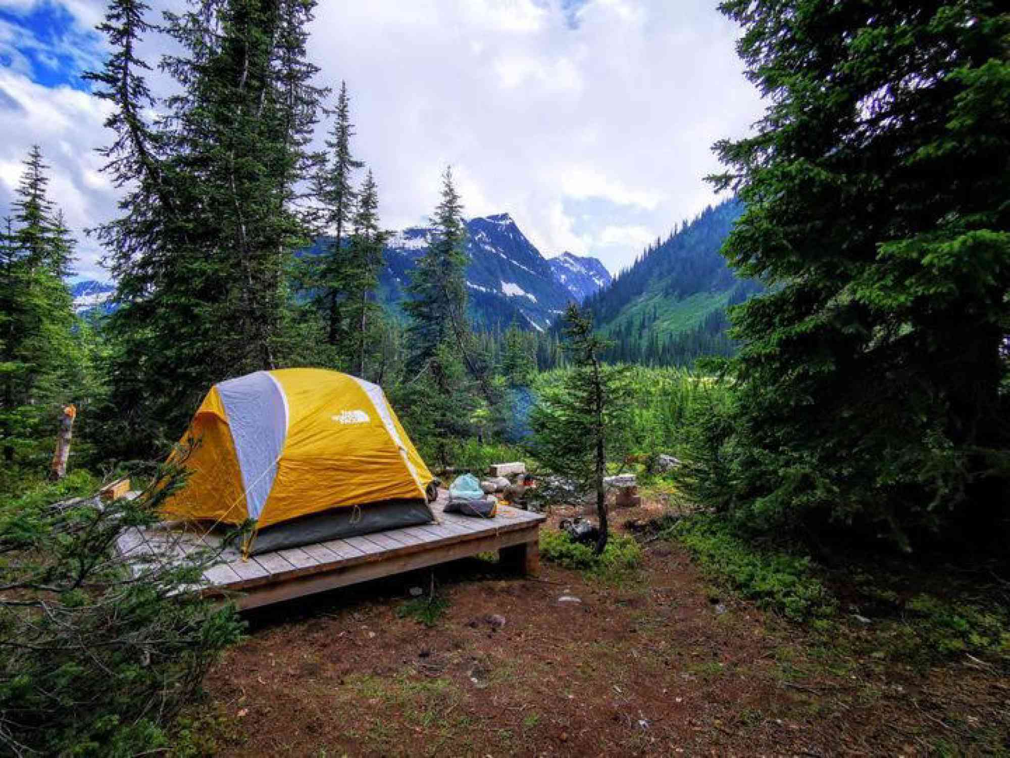
For most visitors, the hot springs themselves are the destination, a natural hot tub that soothes the muscles and refreshes the spirit, but the lengthy hike to reach them is certainly a large part of their wonder and beauty. The journey to the hot springs is an adventure in itself, a 9 km hike through the wilderness that culminates in a steamy reward. The trail winds through forests, along the banks of Dewar Creek, and over wooden bridges. The elevation gain is substantial, but the experience of the hike is worth every step. With every meter gained, the landscape changes and transforms, becoming more and more wild and remote.The trail is rough and rocky in some places, but in others, it is blanketed by wildflowers, adding an extra touch of magic to the journey. The path winds along the creek, occasionally climbing to follow the slope above, before rejoining the horse trail in a flat meadow.
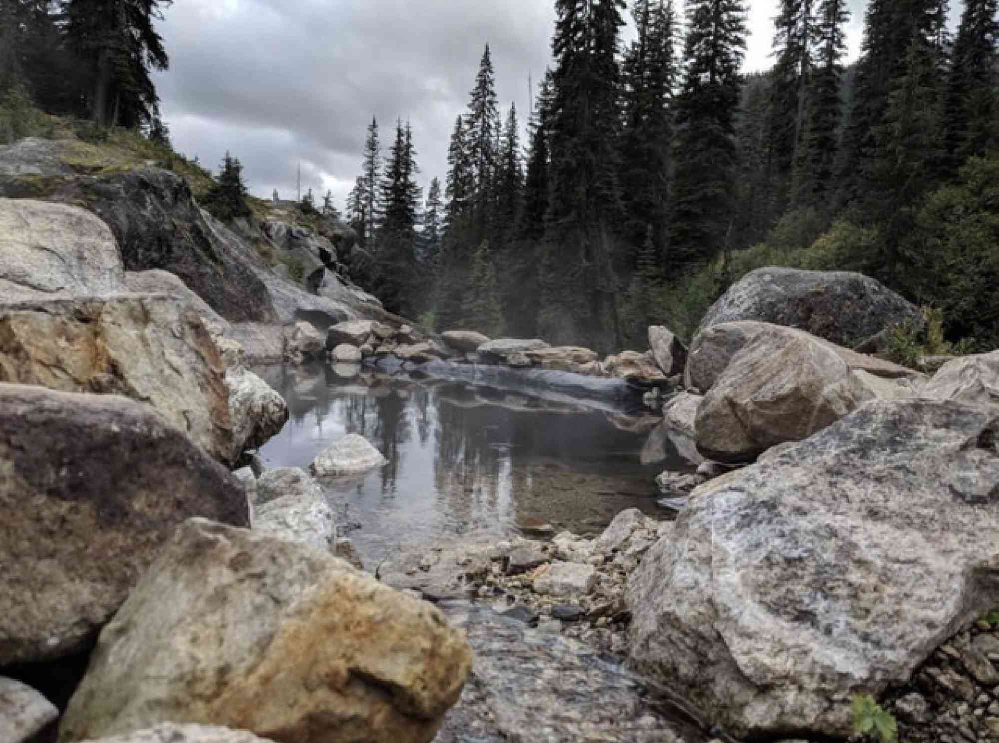
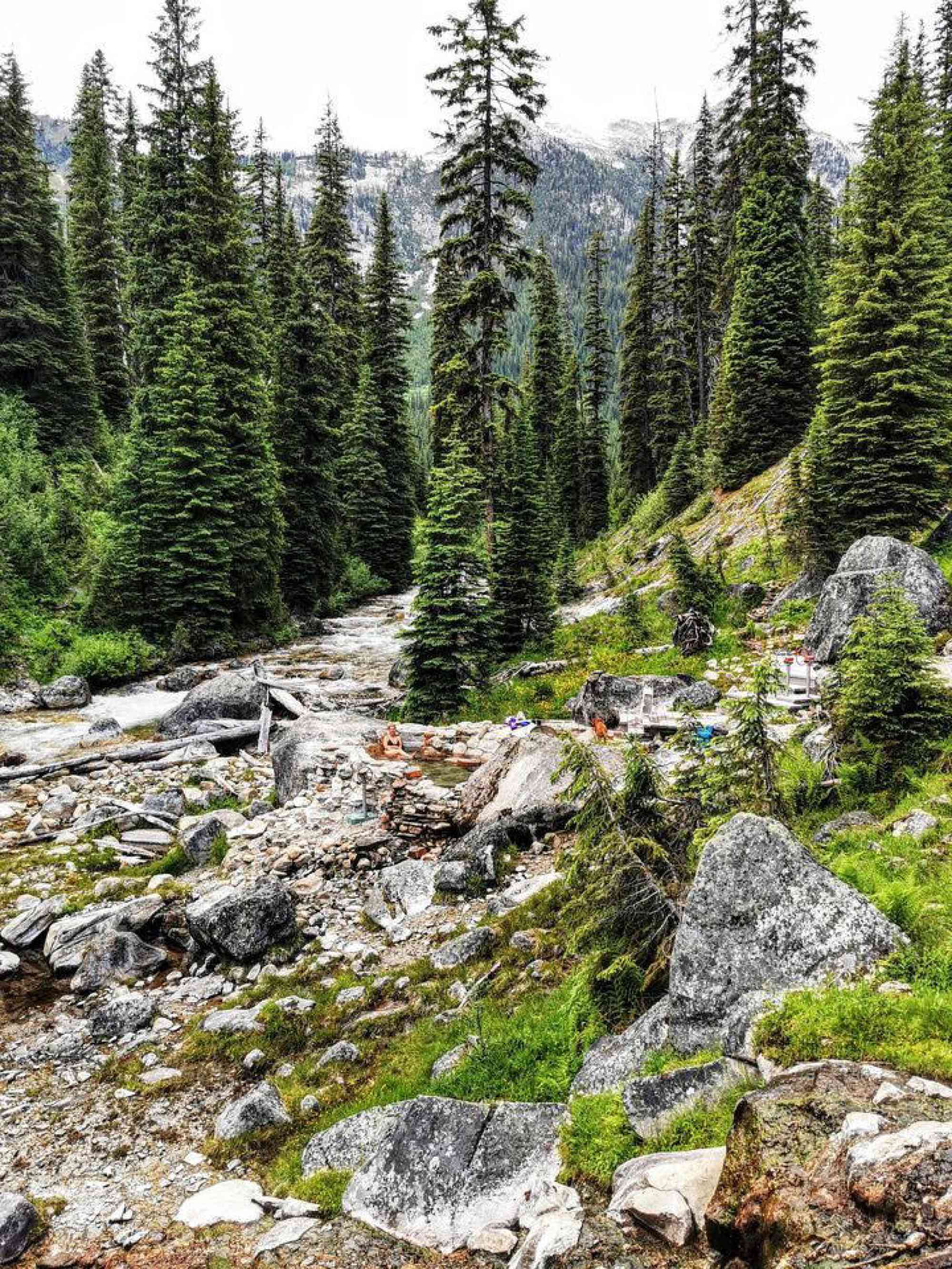
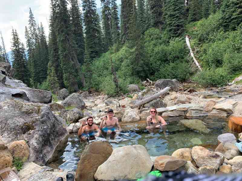
As you get closer to the hot springs, the trail becomes steeper, and the sounds of the wilderness fade away to be replaced by the sound of rushing water. The trail finally breaks out into a large open area, and there, just a few meters away, is the hot springs. The water is warm, clear, and inviting, surrounded by natural rock formations. It is the perfect place to soak and relax after a long hike. The Purcell Wilderness Conservancy has actively kept up with the removal of man made structures, with the exception of a solo tub.
Photos courtesy of @the_kootenays_wanderer
Photo courtesy of @acryli.kelly
Address
Notable GPS Co-ordinates
Detailed Directions
- From Kimberly, head south on hwy 95a.
- Turn left onto St. Mary’s Lake Road and travel for approx. 62 km, but note that the road becomes St. Mary’s River Road and eventually Dewar Creek Forest Service Road.
- The hot spring will be located at the north end of the west side of the mountain ahead of you.
- Start from the parking lot at the Purcell Wilderness Conservancy information sign and self-registration box
- Cross a wooden bridge over Wesley Creek
- Follow the right (east) side of Dewar Creek, which will fork about halfway to the springs
- Do not follow the left branch of the trail used by horseback riders, but instead follow the right (east) branch along the creek bank
- The trail will climb and follow the slope before dropping down to rejoin the horse trail in a flat meadow, rejoining the horse trail in approximately 25 minutes
- After rejoining the horse trail, reach another fork after 10 minutes
- Take the lower branch, which leads to the hot springs in another half-hour
- The trail will climb steeply along the east bank of Dewar Creek, then level out and break out into a large, open, slabby area below the hot springs
- If continuing up Dewar Creek, pick up the route at the top of the slabs.
- Wear good hiking boots as the trail can be rough and muddy in places
- Allow 2-3 hours for experienced hikers, longer if unused to strenuous hiking
Hike is 9 km (5.6 mi) each way with an elevation gain of 180 m (600 ft.)
Leave a comment
You must Login to post a comment!