Ram Creek Hot Springs
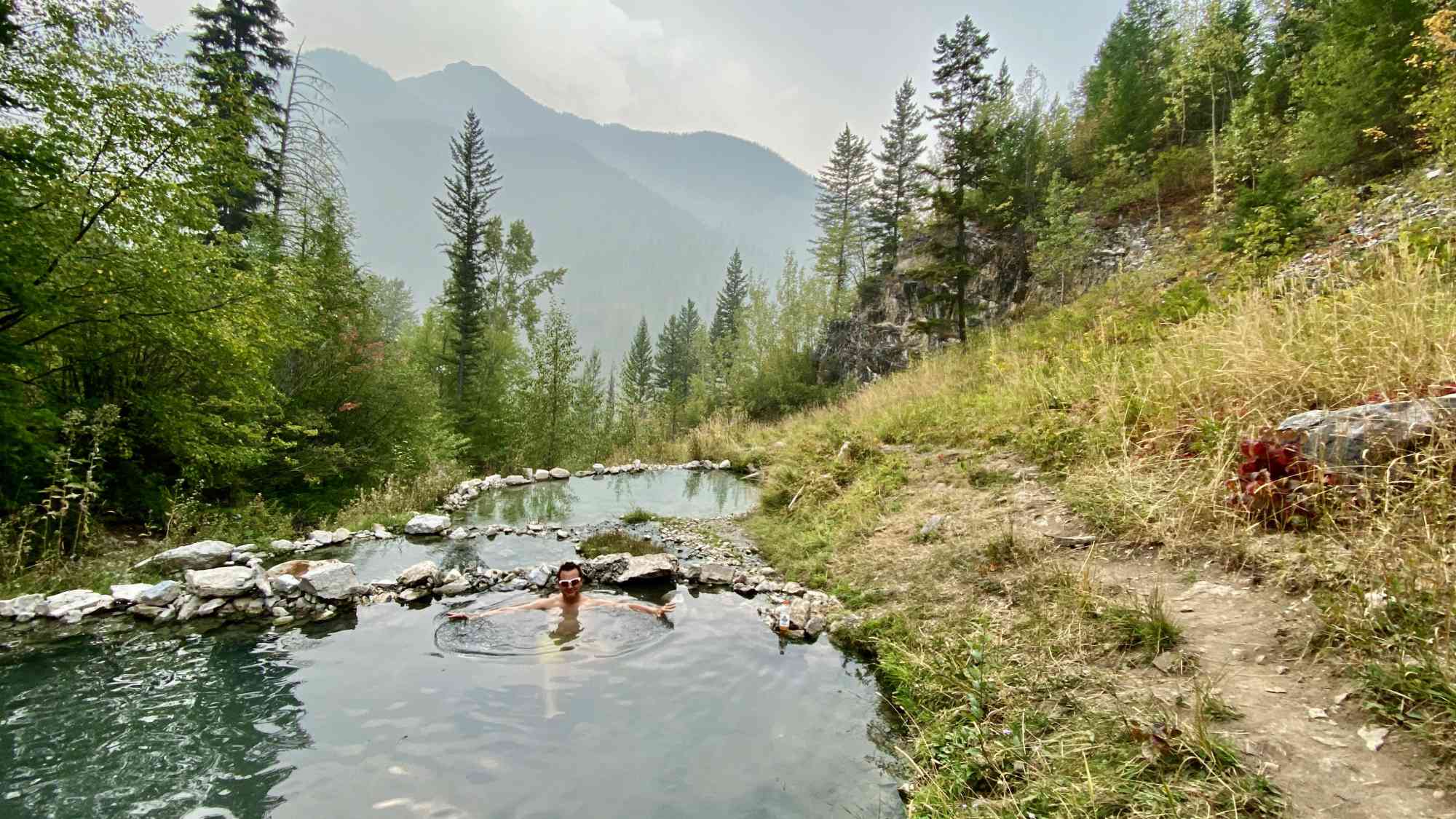
Hot Spring

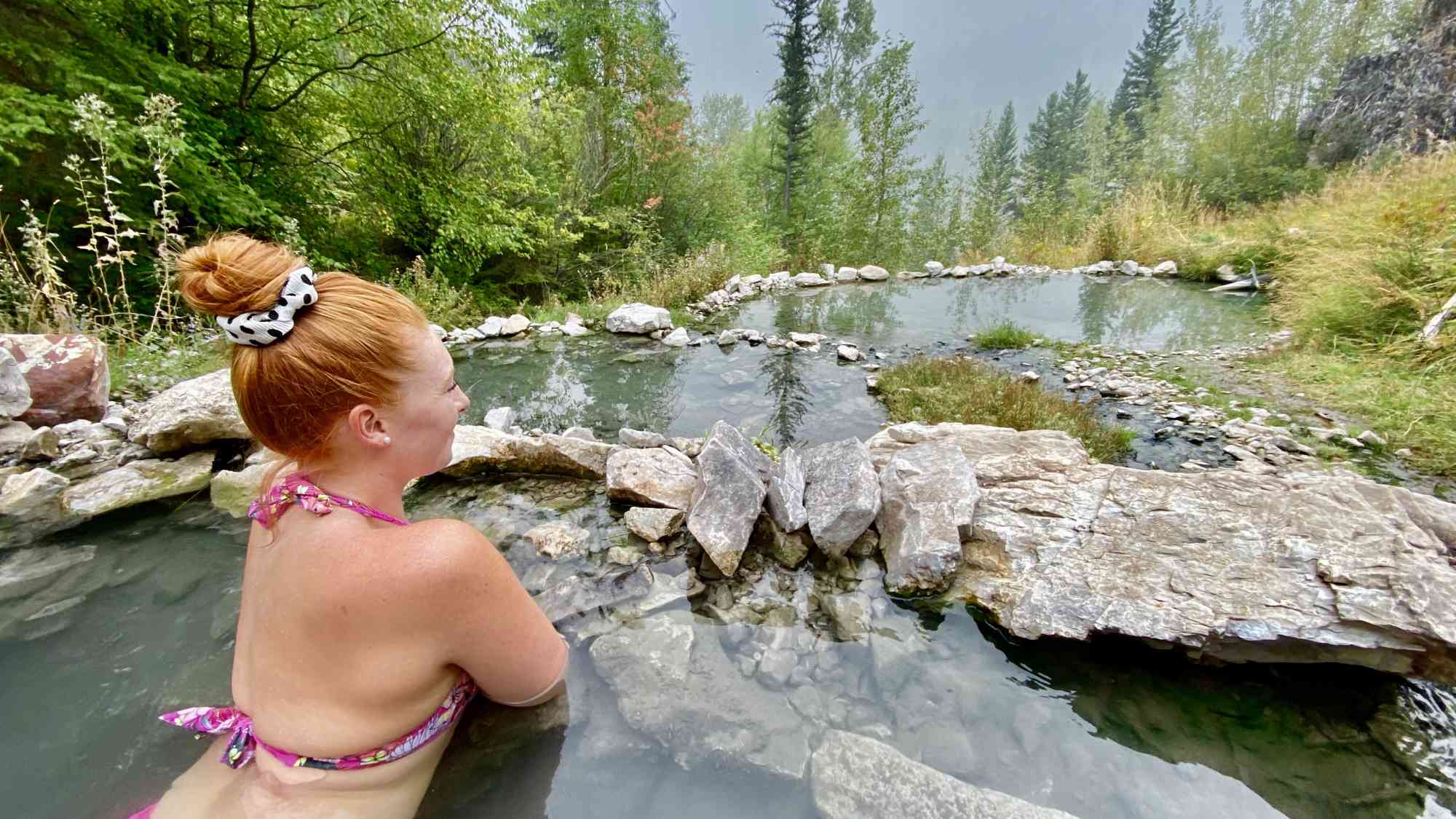
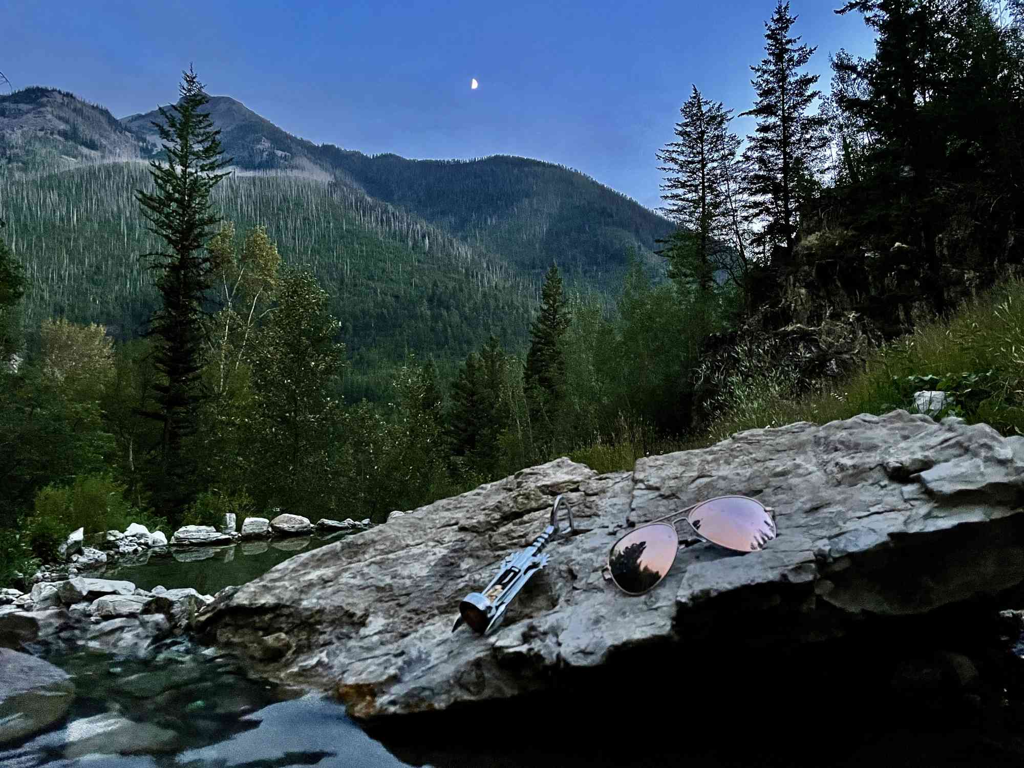
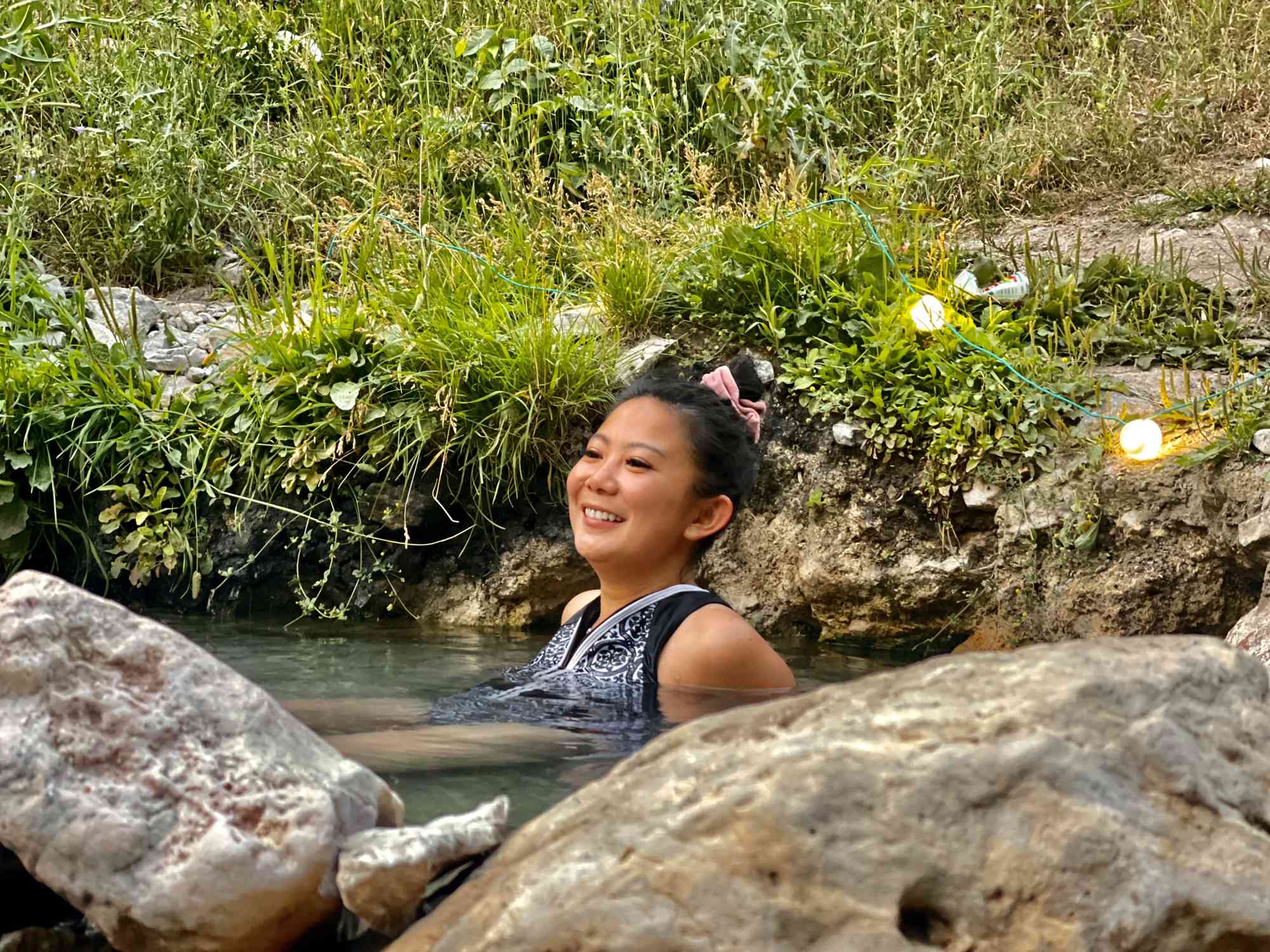
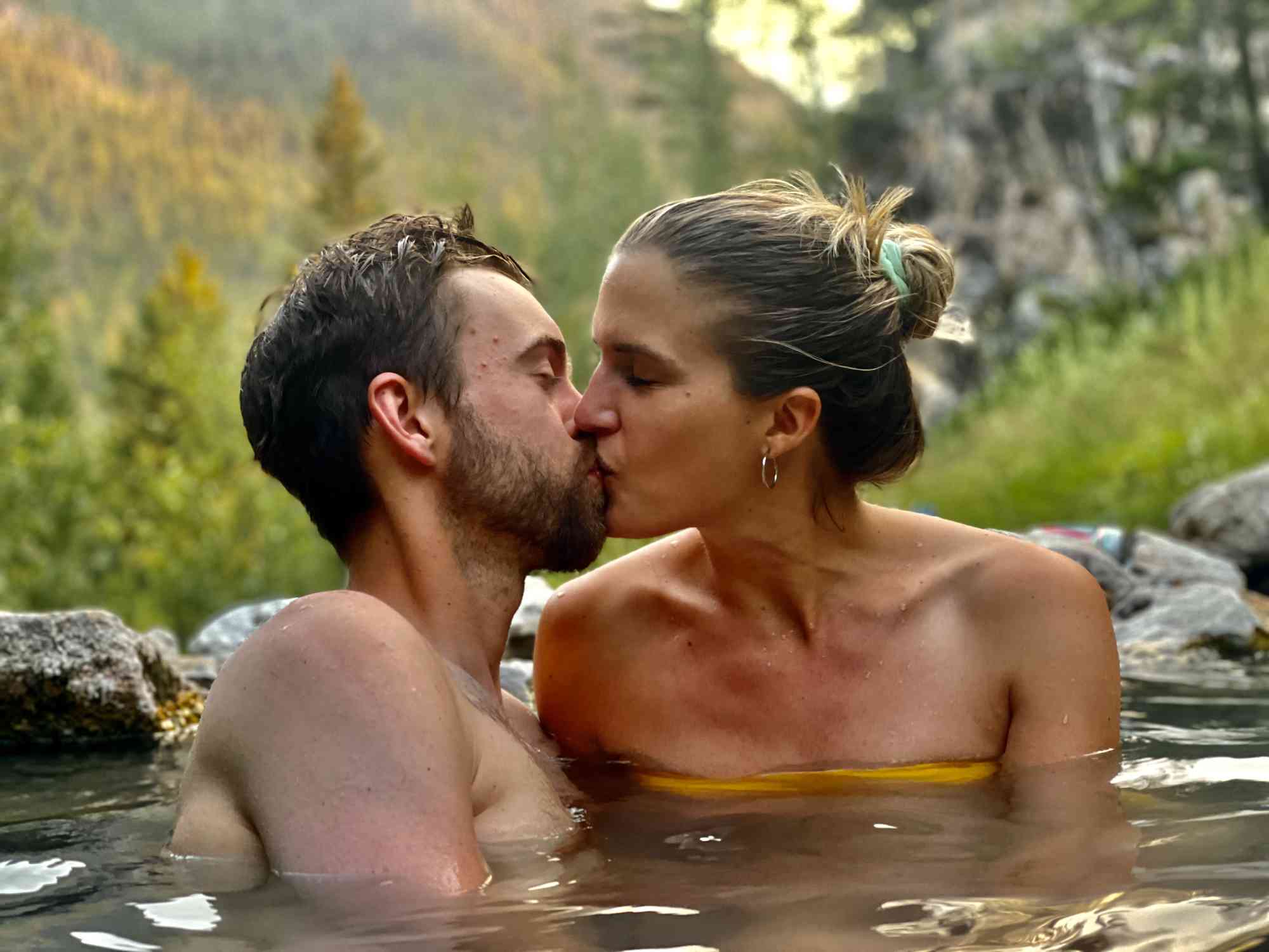
A series of shallow man-made rock pools situated on a serene hillside a 30-45 minute hike from the road.
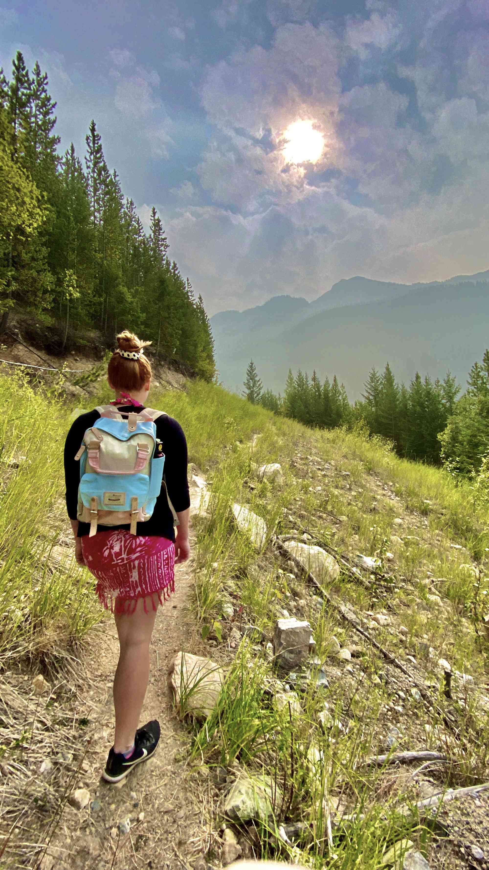
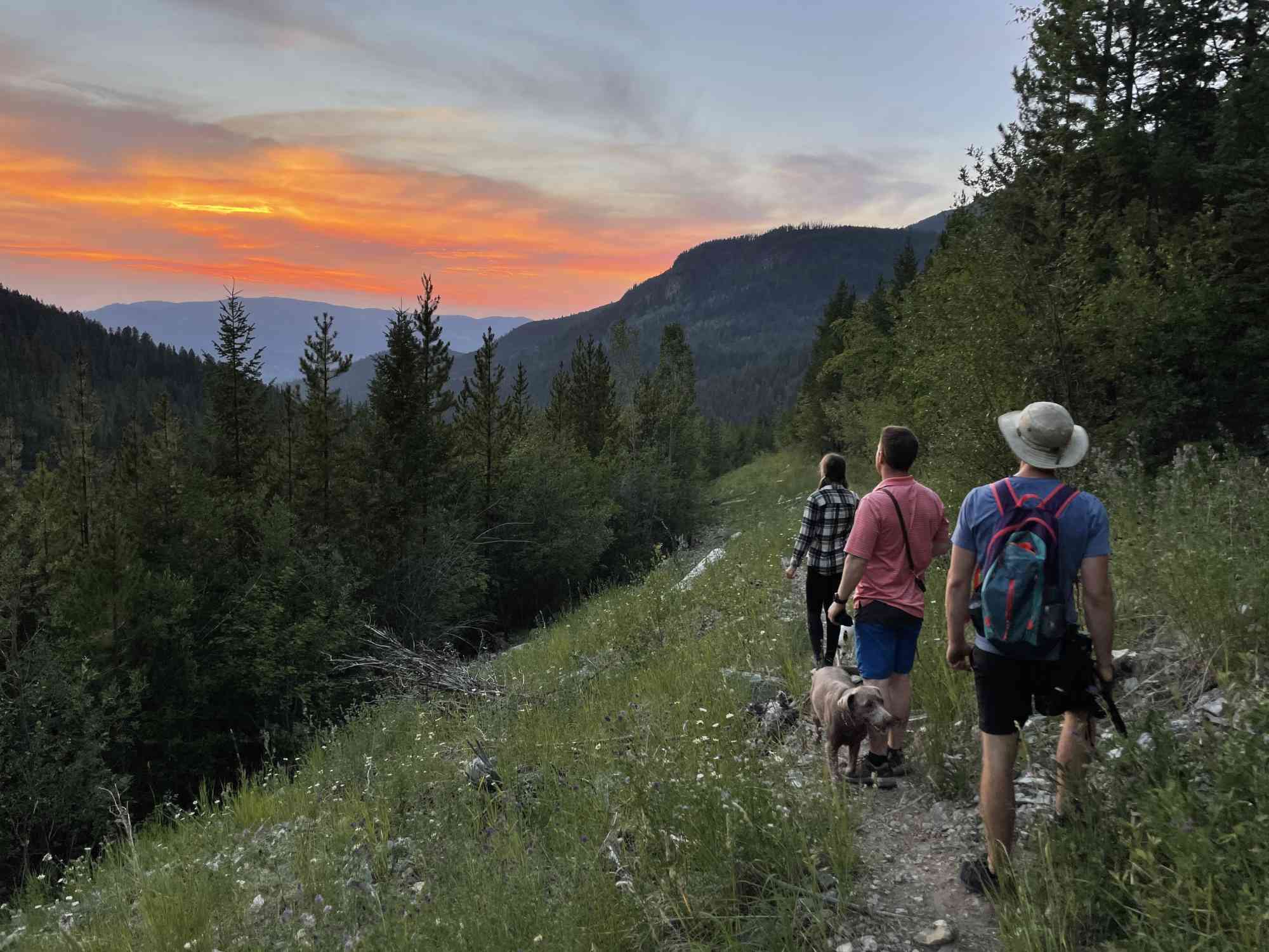
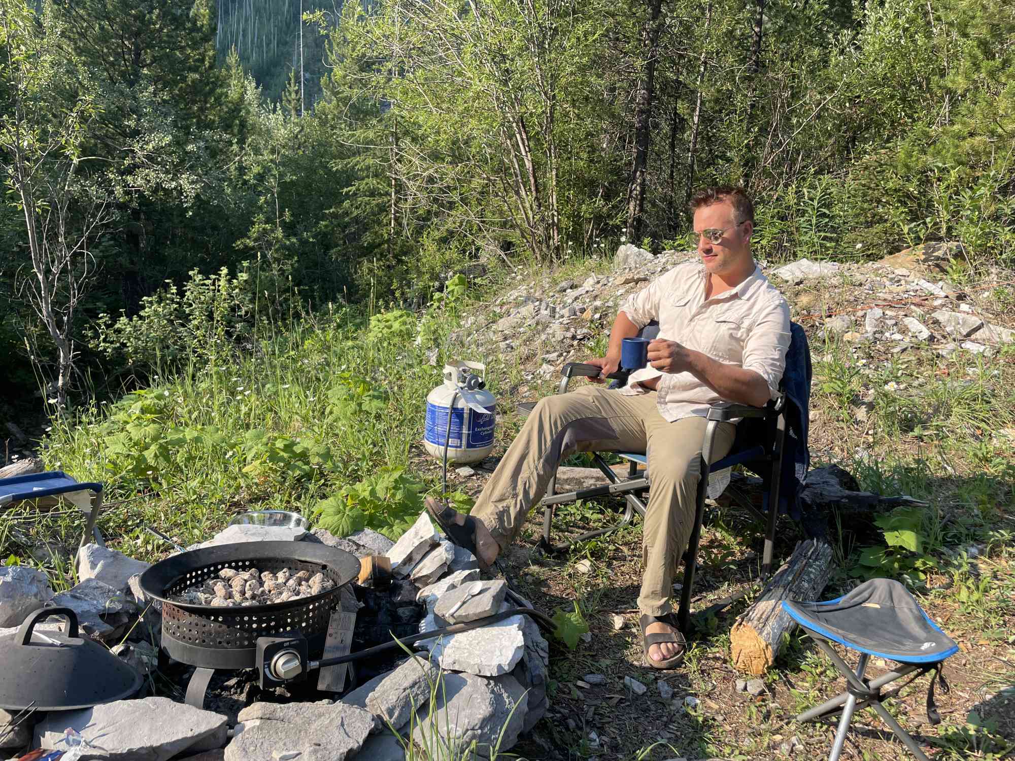
Ram Creek is a favourite for soakers across BC, who find the soak rewarding after the mild hike required to reach the destination. Three terraced pools, one flowing in to the next, with sweeping views of the valley.

In recent years, the hike in has become longer on the north approach due to a road closure and a beaver dam. The final 4.14 km of the 41.8 km drive since the highway is only recommended for ATVs.  It's advisable to take the alternative access instead.

The southwest access via Skookumchuk is a mere 9 km on a dirt road plus a 1.57 km hike (each way) with very little elevation gain (121 m). This is the recommended route. It was done in 2025 with a regular car. Adventurers will need some degree of comfort navigating dirt roads.

The pool temperature varies seasonally and year to year. As of 2025, it was approximately 90°F. The enchanting view, however, won't be changing any time soon. The pools have been dug and reinforced with rocks by visitors and are just deep enough for soaking.

Hot Spring
  • 30.0°C – 35.0°C
Route
  • Unrated
  • Out & Back Same Way
Kids & Pets
Features
  • GPS Map available.

Address

50.032942, -115.592472

Notable GPS Co-ordinates

Detailed Directions

The Easy Route (Confirmed 2025)

  1. Heading south on Highway 93/95 towards Skookumchuk, turn LEFT onto Sheep Creek Road.
  2. Turn LEFT onto Perimeter Lake Road and follow for 8.55 km. 
  3. Keep RIGHT on Perimeter Lake Road at the intersection with Island Pond Road (49.974938,-115.674009). Follow for 800 meters until the road turns to dirt.
  4. Follow the dirt road for 9.17 km to the marked trailhead on the right (50.037678,-115.610397)
  5. Hike for 1.57 km (about 25 minutes) to the springs on the left up the valley. The trail is well-worn and easy to follow. At the springs, signage exists.

The Adventure/Hard Route

  1. From Skookumchuk, head north on 93/95 towards sheep creek road for 22.5 km
  2. Turn right onto whiteswan lake forest service road and continue for 21 km
  3. Take a slight right turn onto Lussier River Forest Service road and continue for 8.3km
  4. Turn right to stay on Lussier River Forest Service road and continue for 7.3 km
  5. Turn onto White Ram Forest Service road (*NOTE: this road will likely be closed for the last 6 km and may need to be hiked in.
  6. Follow the road and then the 11 km out and back trail to reach the springs

Google Directions

Linear Trail
This is a linear (out and back/not a loop) trail; the values below indicate the one-way statistics from the trailhead to the end of the route.

View Full Screen

Map Waypoints

GPS Notes
We have often color-coded our GPX tracks. While it is not always the case, we have tried to use the following convention on our newer maps:

Green/Blue: human-verified by our volunteers.
Purple: overgrown trail, bushwhack, or on private property.
Red: default color or not reality-checked
Yellow: Road
Other Colors: May have been satellite traced or imported from third party sources.

While we strongly believe our GPS are accurate, please be aware that no logging system is perfect and to be aware of potential errors. Use at your own risk.
There are currently no user comments.

Leave a comment

You must Login to post a comment!